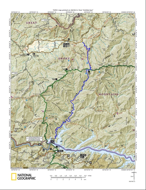
The hikes I have remaining are long, require numerous stream crossings, and a great deal of elevation change. Well with it getting colder, the strong chance for showers this week, and the closure of the Dome Road fast approaching, those hikes will probably get placed on the back burner. But that doesn't mean I can't rack up more new miles along some of the forgotten trails.
Enter Blanket Mountain.
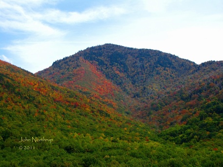
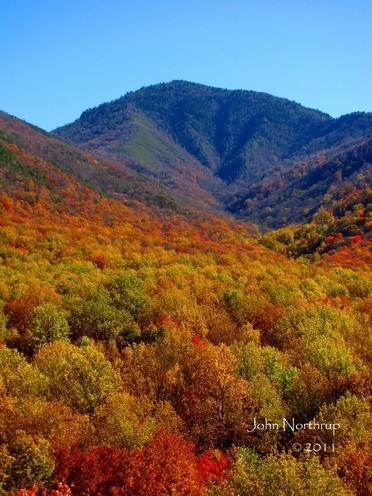
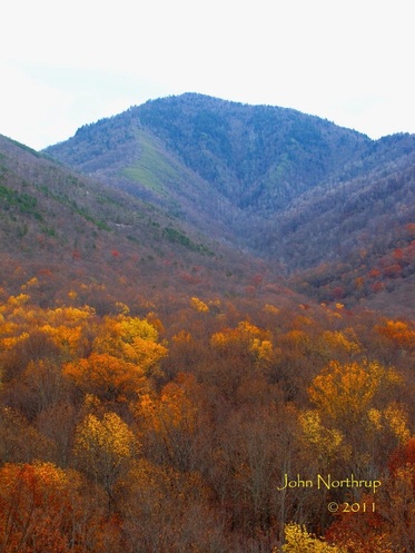
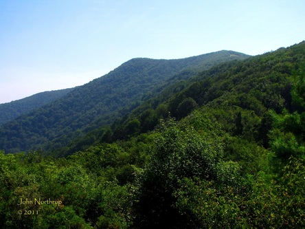
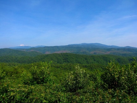
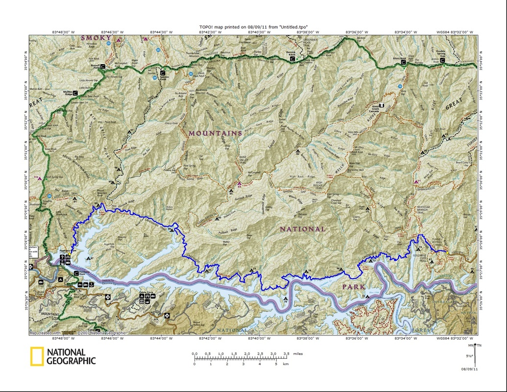
It is a prominent peak on the Tennessee side of the park and can easily be seen from Mount LeConte, the trail up to Laurel Falls, and from Cades Cove. But the trail is no longer maintained or recognized by the park service, particularly since the removal of its fire tower decades ago. The trail is still easily accessible from Jakes Gap and taken by many who know about it. With that said, I elected to get in a short hike up to the summit and back down before the potential rains would roll in that afternoon.
Enter Blanket Mountain.
It is a prominent peak on the Tennessee side of the park and can easily be seen from Mount LeConte, the trail up to Laurel Falls, and from Cades Cove. But the trail is no longer maintained or recognized by the park service, particularly since the removal of its fire tower decades ago. The trail is still easily accessible from Jakes Gap and taken by many who know about it. With that said, I elected to get in a short hike up to the summit and back down before the potential rains would roll in that afternoon.
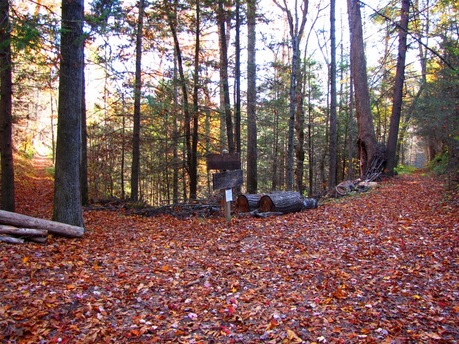
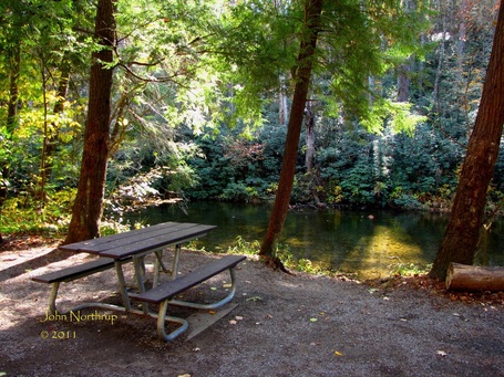
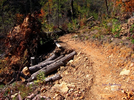
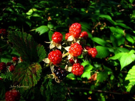
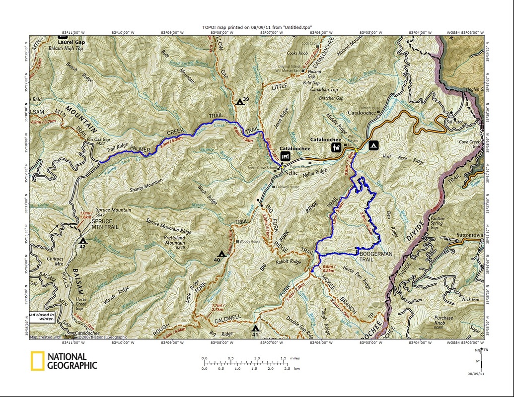
Much to my surprise, the park has apparently extended the length of Jakes Creek Trail down to a paved parking lot. Likely a result of all the renovation projects going on in Elkmont, the distance is now 3.7 miles from the trailhead to Jakes Gap as opposed to 3.3 miles of late. This was good to know because it meant I had 0.4 miles of new trails to suddenly acquire. Peace of cake. The walk up the old road takes one past several deteriorating summer homes. The fallen leaves added some beauty to the ghostly, rotting buildings.
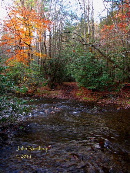
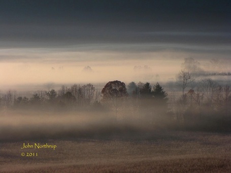
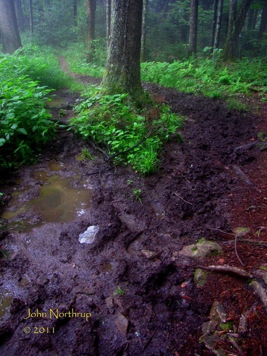
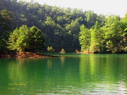
The grade up Jakes Creek is a moderate and enjoyable climb, especially this time of year with the woods being so open. Most of the way up I was walking through a fine mist. It never rained but I could see the clouds reaching down cloak the surrounding ridges. I was worried that I would be in the clear the entire until the very top; thus, losing the views that were my whole reason for doing this hike. The mist was refreshing because it was unusually warm day. Here I was in shorts and a shirt, breaking a sweat, and it's in the middle of November! Who knew?
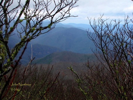
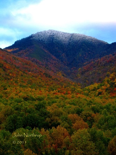
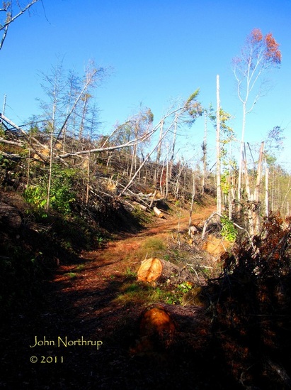
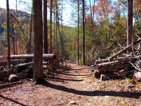
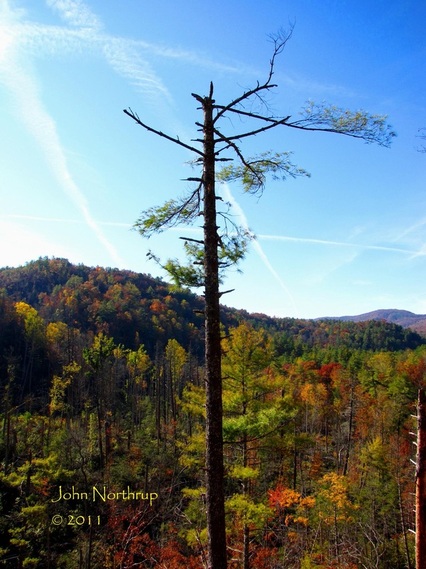
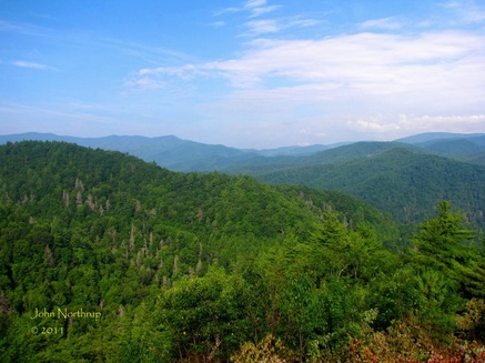
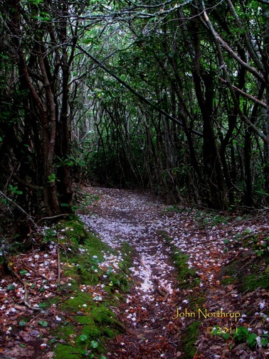
When I reached Jakes Gap, the wind picked up considerably, and I could see to my right that Blanket Mountain was just below the cloud ceiling. I wasted no time and knew right where I had to go. There is no signage or mileage posted, but I knew from my 1973 Sierra Club Smokies Hiking Guide that the trail heads north along the ridge for 0.7 miles, gaining about 550 feet in elevation. The manway is obvious the entire way. There were a couple blowdowns but passable. The rhododendron growth encroaches the path higher up but nothing a crouched position can't solve. Just before reaching the summit, a few boulders stand out to the left edge of the trail. They afford one views to the west but the trees are growing up and beginning to overtake the vista. The clouds also covered the higher peaks to my left and the mist was creating a haze. I could still pick out Tremont below and Cades Cove in the distance.
When I reached Jakes Gap, the wind picked up considerably, and I could see to my right that Blanket Mountain was just below the cloud ceiling. I wasted no time and knew right where I had to go. There is no signage or mileage posted, but I knew from my 1973 Sierra Club Smokies Hiking Guide that the trail heads north along the ridge for 0.7 miles, gaining about 550 feet in elevation. The manway is obvious the entire way. There were a couple blowdowns but passable. The rhododendron growth encroaches the path higher up but nothing a crouched position can't solve. Just before reaching the summit, a few boulders stand out to the left edge of the trail. They afford one views to the west but the trees are growing up and beginning to overtake the vista. The clouds also covered the higher peaks to my left and the mist was creating a haze. I could still pick out Tremont below and Cades Cove in the distance.
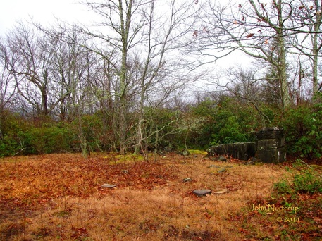
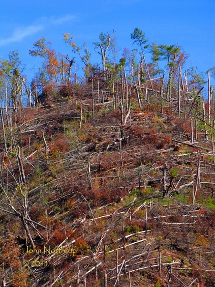
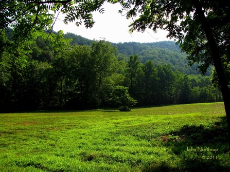
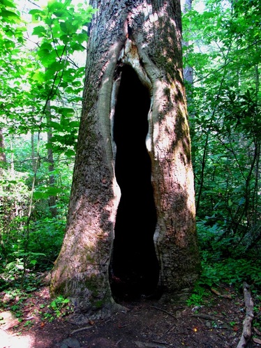
Without the tower, views at the summit are nonexistant. But the area itself is still unique. There is a large grassy patch that would serve great as a picnic spot, situated where the old watchman's cabin used to sit. all that remains are a few stones, rusty parts, and a broken chimney.
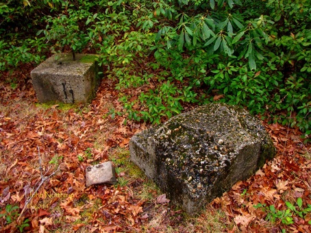
As for the tower, the scene is identical to what one sees at Greenbrier Pinnacle, Rich Mountain, High Rocks, and other peaks. All that remains are four foundation blocks and the first steps of the stair case. There is always a bit of disappoint with these places because you're left wondering with that "what if" feeling had there been a tower still there and it was a clear day. Imagine what one could see.
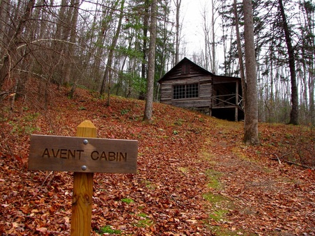
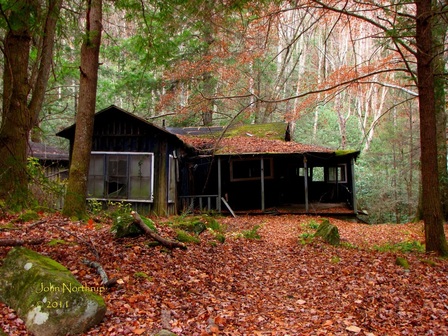
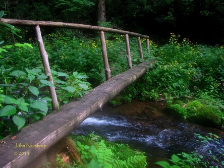
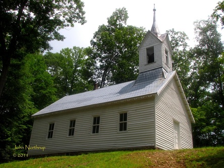
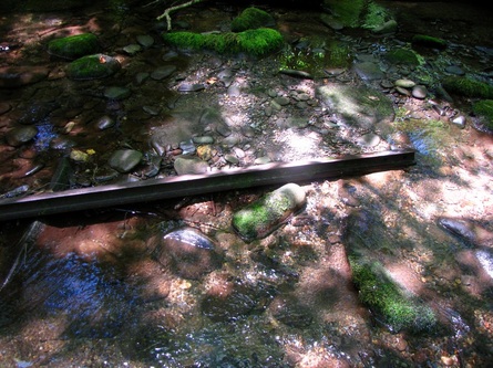
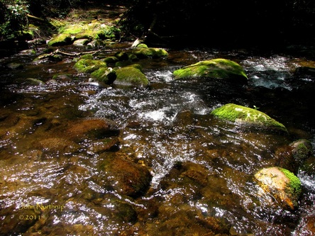
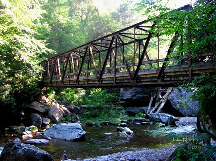
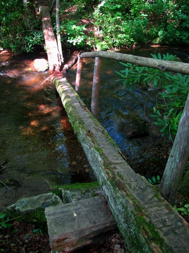
The descent flew by, but near the end of my hike I picked out a side trail coming in from my left. I was curious as to where it went for I had never recognized it anytime I did Jakes Creek prior. I skirted the edge of the trail and found a steep set of steps dropping down. There was no sign describing where it went and if you weren't looking for it, you'd surely miss it. The steps were well made and the path was in good shape, so I decided to take it. A good decision. A little ways in the path crosses the creek over a long foot bridge. Now I'm thinking that if this bridge is here, surely something of significance is out here. I looked around and finally saw the shine off a roof up and to my right. I knew right away what I was looking at. The Avent Cabin. I had heard it was out here somewhere, but was never sure where to start looking, cue my confusion when I saw the path. What a find!
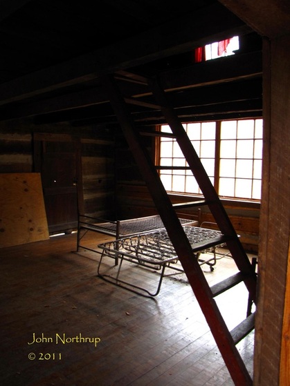
The building itself is in great shape. It's all sealed up, but I took a peek inside through a door held shut by a few rocks. Not much in there in the way of artifacts except for the bed springs and frames and red curtains in the top window. I closed the door and restored the rocks to their original holding positions. When all was said and done, I had managed to walk 1.3 new miles instead of the 0.7 I was expecting. How 'bout them apples?

 RSS Feed
